Due to a lack of functionally-decent and free old maps online, I recently started making maps to help me quickly pinpoint various structures.
Would anyone here would have a need for them? Just trying to get a feel of the need for this type of product.
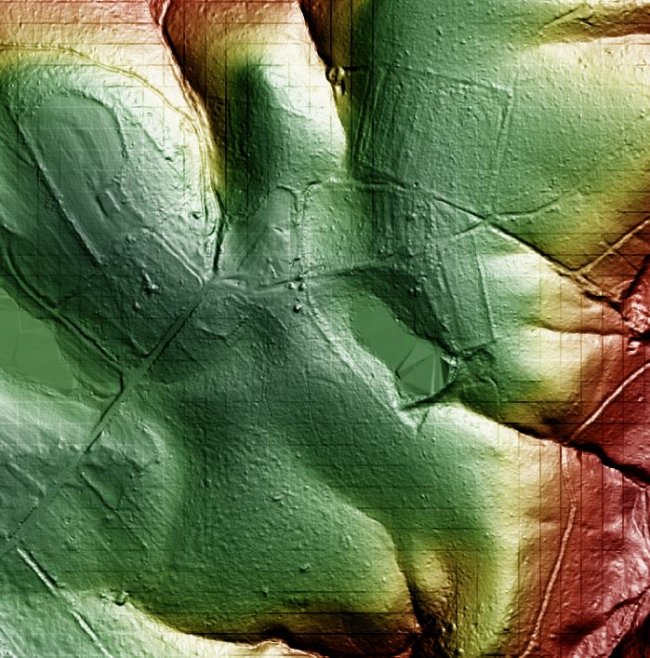
Lidar maps allow one to find structures/paths underneath the tree cover and the overlays allow one to easily compare the stated locations of old buildings with the most current (or older) satellite views.
1. I can make custom Lidar maps to specification with a quicker turnaround time.
2. I also currently make Old Map/Google Earth Overlays. These are trickier to make depending on the map. I can make these with medium turnaround time.
3. Future state I have a lot of different ideas for maps that allow the user to quickly find the spot they're looking for")
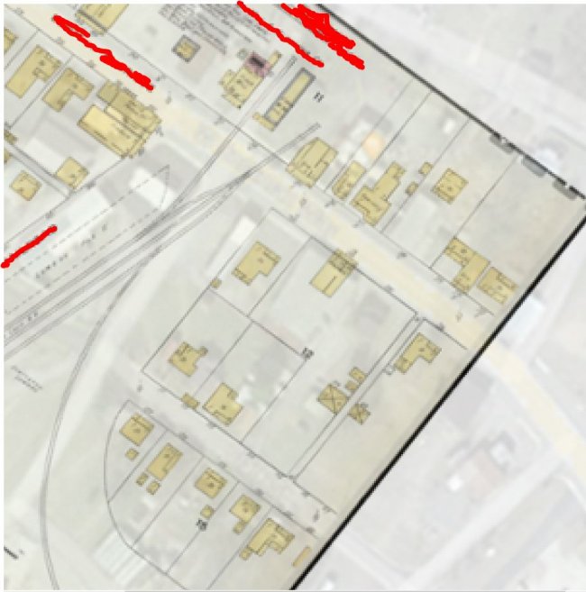
Attached you can find two tiny samples of my work-A sanborn/Earth overlay and a Lidar map.
Would anyone here would have a need for them? Just trying to get a feel of the need for this type of product.
Lidar maps allow one to find structures/paths underneath the tree cover and the overlays allow one to easily compare the stated locations of old buildings with the most current (or older) satellite views.
1. I can make custom Lidar maps to specification with a quicker turnaround time.
2. I also currently make Old Map/Google Earth Overlays. These are trickier to make depending on the map. I can make these with medium turnaround time.
3. Future state I have a lot of different ideas for maps that allow the user to quickly find the spot they're looking for
Attached you can find two tiny samples of my work-A sanborn/Earth overlay and a Lidar map.